CONTENTS
- Cheviot Hills (14)
- Hadrian's Wall (4)
- Lake District (26)
- Lancashire & Cheshire (4)
- Northumberland (17)
- Random Stuff (13)
- Scottish Highlands & Skye (20)
- The Early Walks 1980 – 2000 (2)
- Tit Cam – Blue Tit Nest (4)
- Uncategorized (1)
- Zoo Review – Chester Zoo (1)
My Route Maps

-
Recent Posts
- Ben Alder and the Bike-Hammer-Brake Adventure
- The Wall Years – Two Men’s Competitive Obsession on the High Section of Hadrian’s Wall
- Probably the best route up the Cheviot from Langleeford – via Lambden Valley, College Valley and the Hen Hole – (13 miles)
- How to access the Coquet Valley and Cheviot Hills by car through Otterburn Military Ranges, via Dere Street
- Adder Encounter in the Cheviots, Northumberland
Top Posts & Pages


-
Mountain Forecasts


Tag Archives: The Street
Cheviots Trip Report – Green Bumps; Barrowburn, Shillhope, Border Ridge, Windy Gyle, The Street and Heavy Artillery (12 miles)
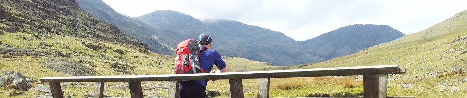
After 3 months without a big walk circumstances & the weather finally came together and I made the 75 min drive up to the White Bridge at Slymefoot in the Upper Coquetdale Valley of the Cheviots. Having done most of the … Continue reading →
Posted in Cheviot Hills
|
Tagged Barrowburn, Cheviot Hills, hiking, Shillhope Law, Slymefoot, Social Hiking, The Street, Trows, Upper Coquet, Windy Gyle, Windy Gyle route, Windy Gyle The Street
|
9 Comments

