CONTENTS
- Cheviot Hills (14)
- Hadrian's Wall (4)
- Lake District (26)
- Lancashire & Cheshire (4)
- Northumberland (17)
- Random Stuff (13)
- Scottish Highlands & Skye (20)
- The Early Walks 1980 – 2000 (2)
- Tit Cam – Blue Tit Nest (4)
- Uncategorized (1)
- Zoo Review – Chester Zoo (1)
My Route Maps

-
Recent Posts
- Ben Alder and the Bike-Hammer-Brake Adventure
- The Wall Years – Two Men’s Competitive Obsession on the High Section of Hadrian’s Wall
- Probably the best route up the Cheviot from Langleeford – via Lambden Valley, College Valley and the Hen Hole – (13 miles)
- How to access the Coquet Valley and Cheviot Hills by car through Otterburn Military Ranges, via Dere Street
- Adder Encounter in the Cheviots, Northumberland
Top Posts & Pages


-
Mountain Forecasts


Tag Archives: Hindside Knowe
A return to hillwalking, featuring the Cheviots, new gloves and 50 men trained to kill
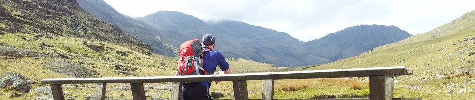
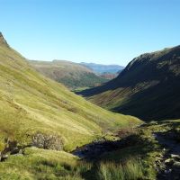
Ten weeks ago whilst driving back from the Cheviot hills my trusty old Mondeo lost power up the steep road out of Rothbury. Repair would be expensive especially with an impending MOT, so the hills were out of bounds until a replacement was found. … Continue reading →
Posted in Cheviot Hills, Northumberland
|
Tagged Barrowburn, Border Gate, Buffalo Mitts, Cheviot Hills, Cheviots routes, Fairhaugh, hiking, Hindside Knowe, routes from wedder Leap, Social Hiking, The Street bridleway, Trows Rd End, Upper Coquet, Upper Coquetdale, Windy Gyle route, Windy Gyle view
|
2 Comments

