
Day one of a week’s walking holiday in the wonderful north west highlands. After a long period of settled weather Autumn had finally arrived, and with it the gales. The Met Office suggested Skye would be cloudier and windier than the mainland, which at least narrowed our options a bit. We would head inland where the forecast was clear and dry but with 65 mph gusts on the high mountains. Despite this we were determined to get out somewhere after driving up to Plockton the previous evening, (we just weren’t sure where yet). One thing was sure, to be wary of narrow ridges and any hint of exposure as those gust could have me over – just like last year on Cul Beag.
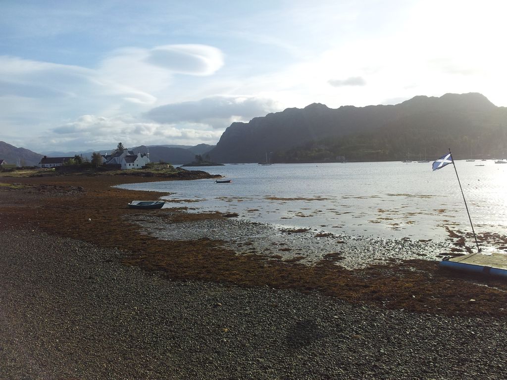
Leaving Plockton 9.50am nice but windy
We headed east to suss out the conditions with a few ideas in mind. For a few minutes Ben Damph was top target, till we glimpsed the distant fin shape and agreed this wouldn’t be advisable in those winds. From our experience last year on Cul Beag we needed a safe top with great views, no exposed ridges and a northern ascent shielded from the fierce south west gusts. Alan was scanning the mountain books as I drove scanning the road, then as the view below appeared Alan had a light bulb moment. Whilst it was too late and too windy for the lengthy Corrie Lair circuit, the impressive looking Corbett of Fuar Tholl had everything we were looking for.
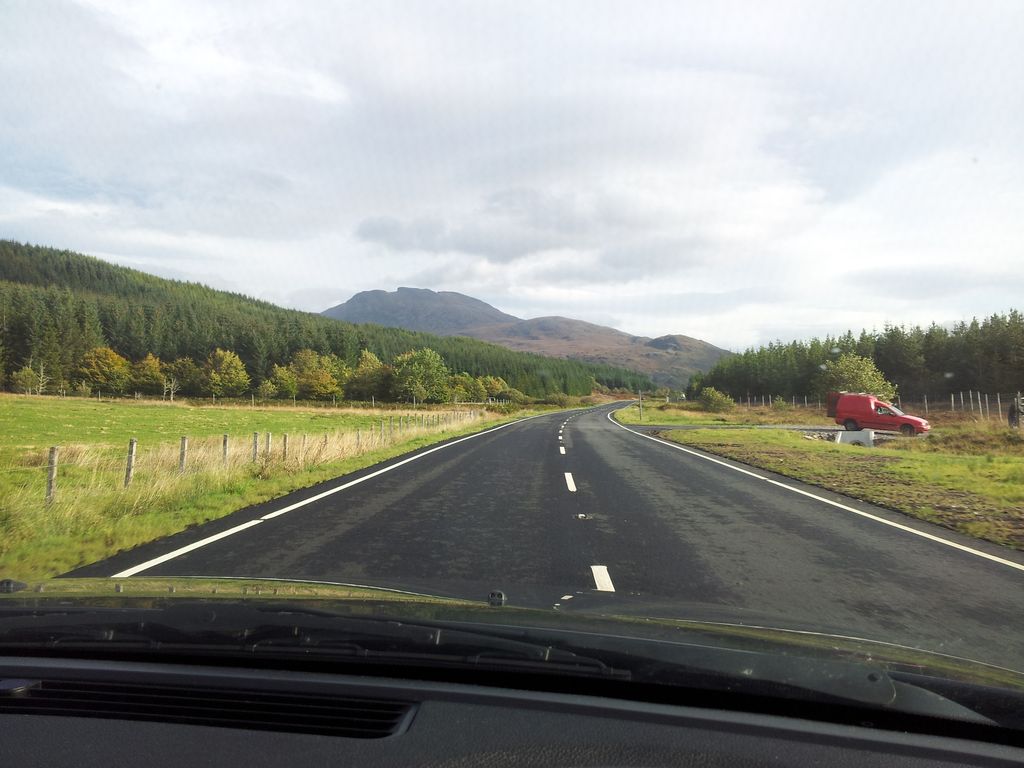
Light bulb moment seeing Fuar Tholl from the road 10.34am
Fuar Tholl Route Detail & Pics from Thurs 2nd Oct 2014
- Distance = 9.76 miles (15.71 km)
- Duration = 7 hrs 20mins, (start 11.00am, finish 6.20pm, inc 50 mins on top)
- Total Ascent = 3,327 ft (1,014 m), max height Fuar Tholl 2,976 ft (907 m)
- Start/Finish = Layby on A890 opposite turn-off to Achnashellach Station
- Warning = “the River Lair may be difficult during spate”
- Date = Thursday 2nd October 2014, weather clear with storm force winds
- Click on my Social Hiking Route Map below to zoom in/out

Fuar Tholl route from Achnashellach, click map to zoom in
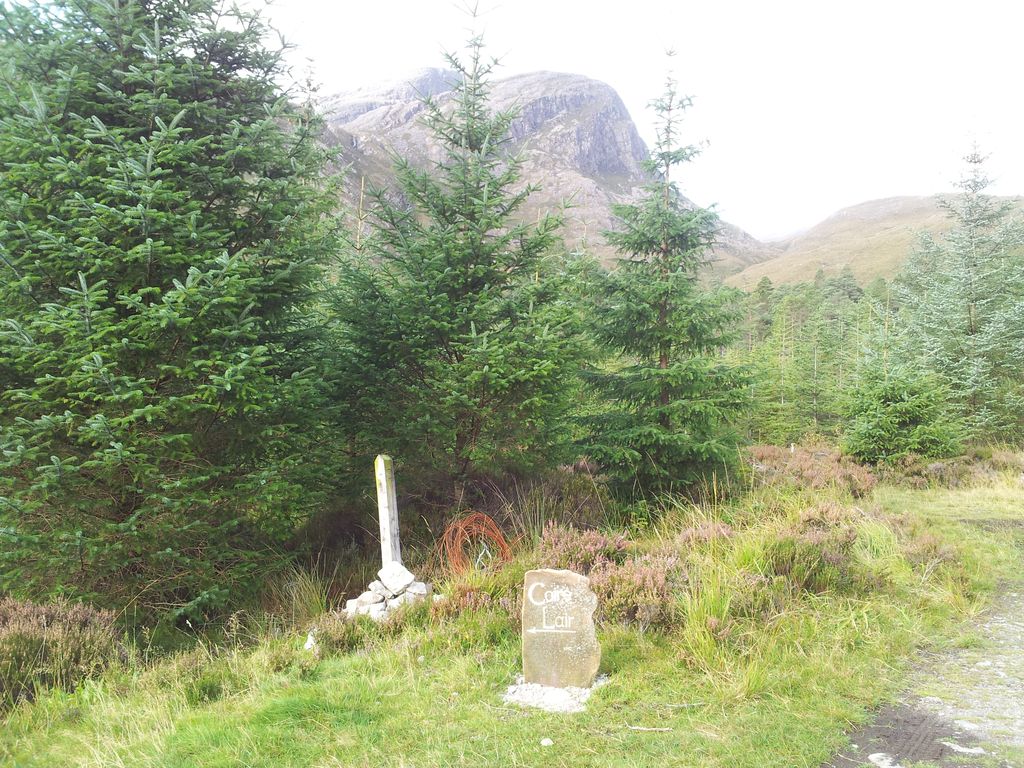
Fuar Tholl dominates the southern approaches yet is something off an offshoot to the two neighbouring Munros, Beinn Liath Mhor & Sgorr Ruadh. Being the 13th highest Corbett it fails to reach Munro status by just 7 metres and is consequently less popular, however some describe this as the best mountain in Glen Carron and well worth a visit. This would be a rare out & back in preference to the two alternatives. The guides mention a possible direct descent to Achnashellach via the east ridge however the understated term used in ‘Ralph Storers 100 Best Routes’ was enough to put us off. If Storer describes a route as, “it’s as rough as it gets”, then it will be bloody rough. Alternative no 2 is a south west pathless descent to Balnacra/Coulags which leaves you some distance from the car. With hindsight we never once regretted our route choice & it utilises a bloody good path.

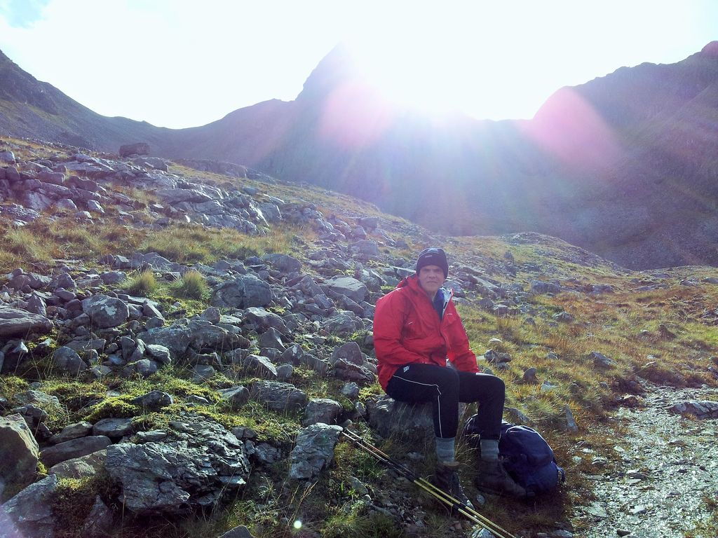
Leaving the car at 11.00 am, only nutters out in the windy hills today…& Glenmore Lodge
We’d had no time for unpacking or packing the night before so a late start, even forgot my favourite ancient blue Patagonia capilene top. On the drive here there’d been no sign of cars parked in any of the usual Munro spots which reinforced the apprehension of the conditions ahead. Slightly reassuring then to see a Glenmore Lodge van. Leaving the car we crossed the A890 and followed the side road passing old stone farm buildings and the Garden Cottage before reaching the railway station.
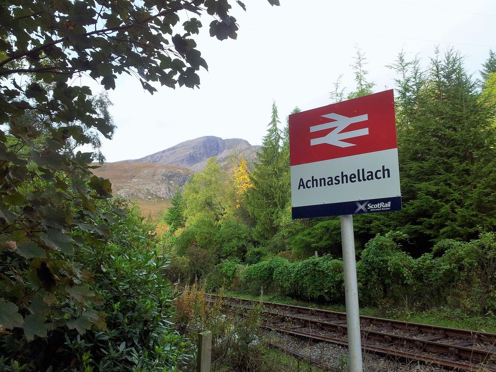
Achnashellach Station (of course) with Fuar Tholl ahead – 11.06am
We walked through the gated crossing following a dark track for 100 yards which then opened up to a crossroads with the obvious route being straight ahead. This would be the wrong route however, as the correct one is sharp left, had to check the map to confirm this.
An inviting day ahead, wonder how windy it is up there – 11.12am
Just as you pick up speed an impromptu sign is reached indicating it’s sharp left to the Coire Lair. Useful addition this as it’s easy to miss this turn whilst gazing at the scenery ahead. This takes you down a track through a deer fence gate.
Useful left turn indicator – 11.17am
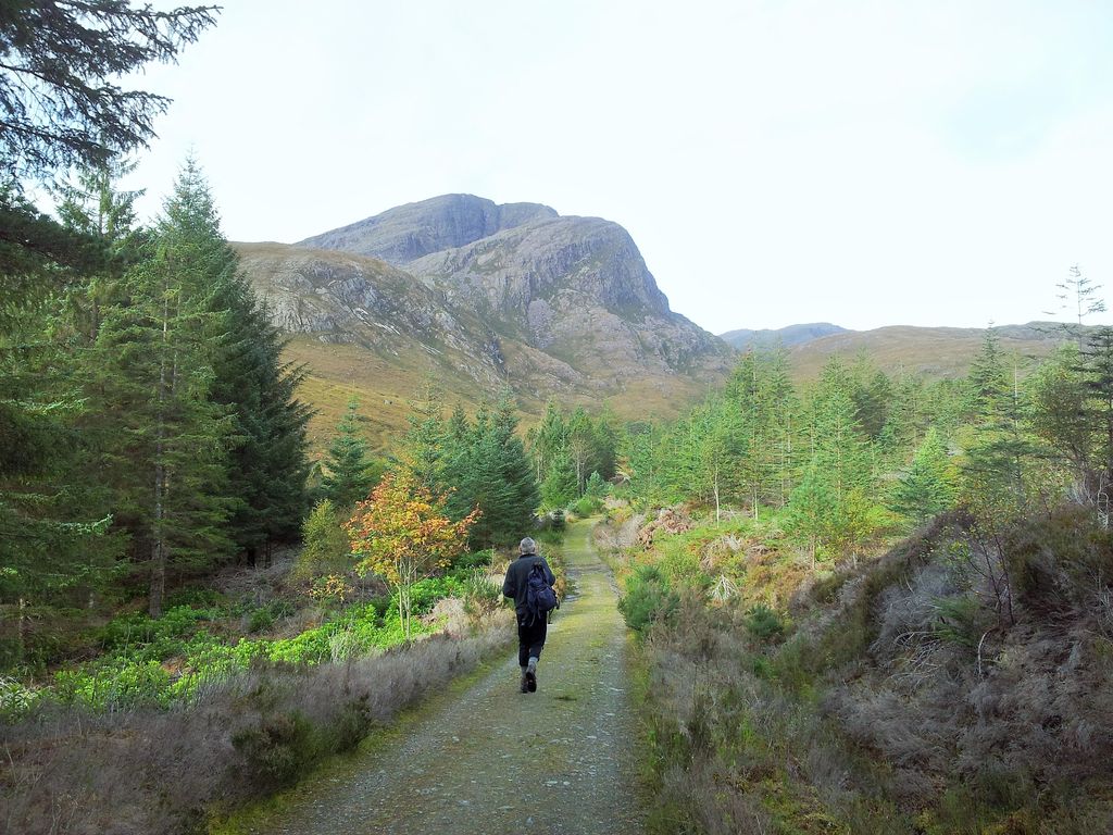
After passing through trees close to the river a stalkers path opens up starting to zig zag uphill. Found this an excellent walking surface, good gradient and well managed. More reasons to use this same route in descent. The surrounding ground does look rough, there was certainly no temptation to leave this path at any point. After nearly an hour from the car the path levels off and the views really open up to the Corrie Lair. Which is nice.
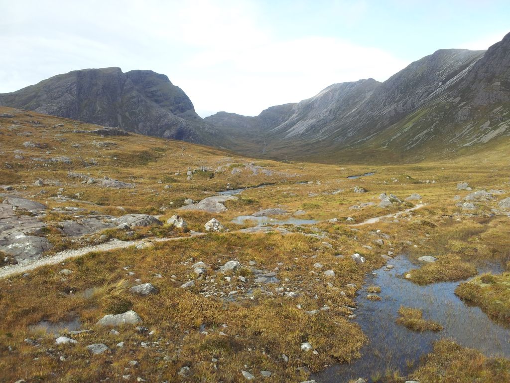
Sgorr Ruadh to the left – 11.54am

Beinn Liath Mhor to the right – 11.54am
The path soon splits in 3 marked by a small cairn. One continues to follow the river up the valley, a second heads up the right shoulder in the picture above along the skyline of Beinn Liath Mhor for the full circuit. Meanwhile our route heads north west down to the river to access the Corbett from the north. Fuar Tholl was now showing off its brooding side.

Fuar Tholl, we would be heading past the right shoulder – 11.54am
Had almost forgotten one warning for this route that the River Lair may be difficult in spate. This began to look more of a problem than we imagined. The path goes to an obvious looking crossing point with one or two markings nearby suggesting alternatives. None of these looked inviting so we traipsed downstream to see an island but couldn’t be sure what was on the other side. Every hopeful spot had a high slip/fall factor due to the speed of the water. We traipsed upstream and found a flatter area, then looked downstream then upstream again. Each time we considered a crossing the sky darkened so we couldn’t see the river bottom, then a noisy gust of wind would blow reminding us that this whole trip might be in vain if we can’t get up top. The options were to turn back, a huge diversion upstream around the loch, or soaked boots. The boots would take ages to dry and this was just the start of the walk on day one. So option 4, boots off and wade it.
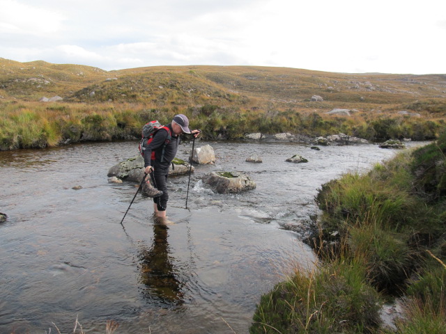
Crossing the River Lair (eventually)
Many years of hillwalking yet first time we’d done this, obviously we’ve had it too easy:-) Bit cold, bit slippy and poles are essential. Had wasted a bit of time here faffing about here then drying feet. Still it meant we had got across and boots were still dry, and of course we won’t have to do that again. Oh hold on we’re coming back this way, bugger.

Across the stream ascending towards Fuar Tholl – 1.05pm
As we’d crossed a little upstream we had to relocate the path before following it on more zig zags rising up towards the bealach between Sgor Ruadh and Fhur Tholl.
Below the cold hollow – 1.33pm
Scenery changed as we got higher round the back of Fuar Tholl, now we could see why it’s called Cold Hollow. Rather than carry on up and round the Creag Mainnrichean we had decided to choose the direct route up from here to maximise shelter from the gales.
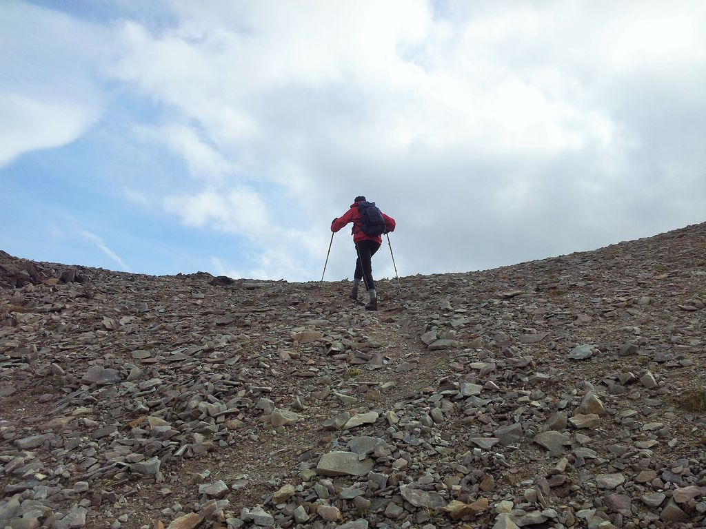
We started the direct southern ascent to the top from here – 1.33pm
Dominated by the Mainreachan Buttress this is certainly an impressive sight. Our route went up below the left side of the buttress trying to pick the best ground, grass at first eventually joining the scree to the skyline with the summit out of sight left. Was easier than it looked with the occasional old footprint but nothing recent, we were certainly the only one’s up that route for the past few days.

The Mainnrichean Buttress – 1.40pm
The best thing about a steep ascent to a summit is that you know everything is going to look very different, very soon, assuming you can still stand.

Sgorr Ruadh and bealach – 2.05pm
40 mins of ascent later we stopped below the skyline and layered up for the summit.
A walk up to the unknown – 2.20pm
On top with a view south west to Loch Carron – 2.24pm
First impression;- it was windy, funnelled but not unbearable. Just a few minutes away the summit was visible with a shelter, so we quickly scurried up. And then the views came.

Final walk to the summit shelter ahead – 2.24pm

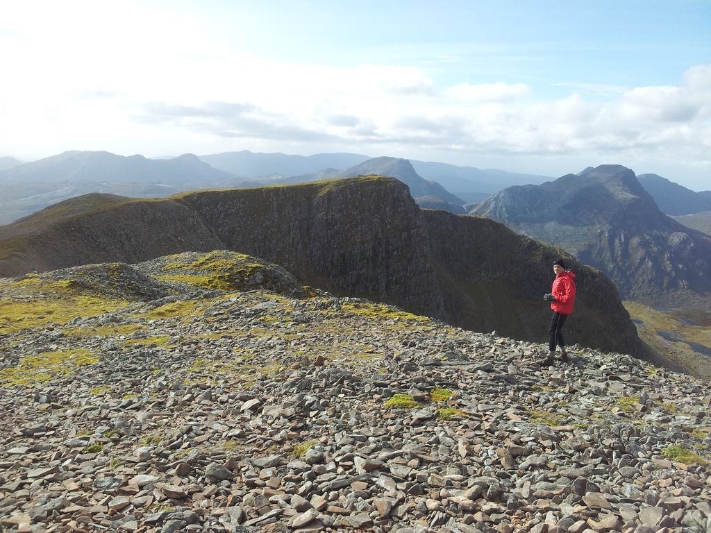
From the summit of Fuar Tholl with Liathach making an appearance- 2.44pm
After much weather apprehension on a day when few seemed to be out on the hills, our plan had worked. We had made it without incident to the top, for once I wasn’t blown over and the views were magnificent. It was spot the distant peak time, Torridon, Slioch, An Teallach, to name but a few. Happy time up here.
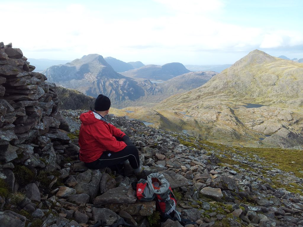
More views sheltered behind the shelter & Maol Chean Dearg – 2.46pm

West and top of the Mainnrichean Buttress – 2.46pm
Wandering around admiring the view – 2.47pm

2.47pm

Sgorr Ruadh & Beinn Liath Mhor – 2.47pm
Shaky video time (must try the stabilisation option on the mobile)

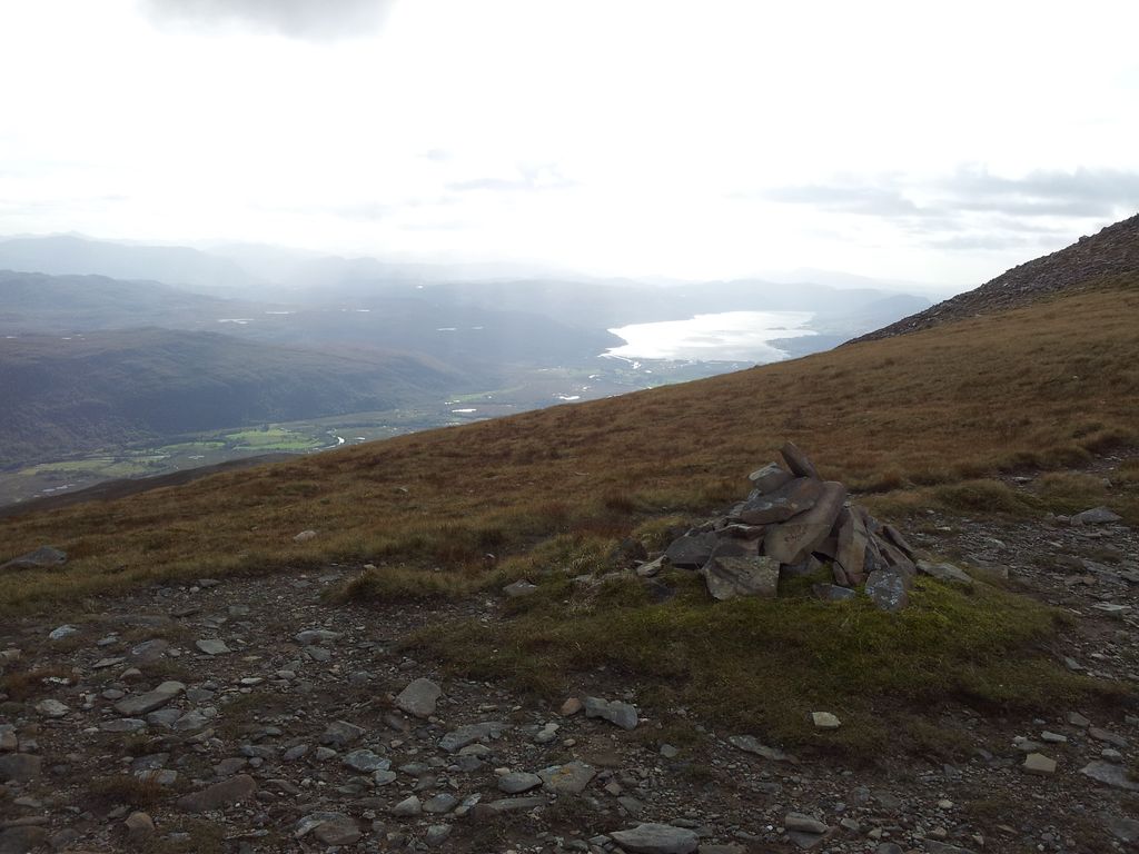
View over the edge eastwards over Achnashellach in the trees below – 2.54pm
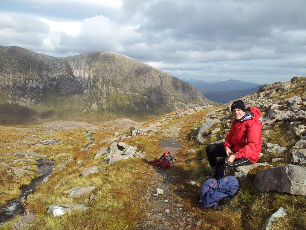
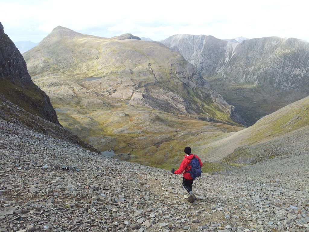
Had a wander around taking advantage of some surprisingly sheltered areas on the summit. Felt lucky to be enjoying all this on day one, we werent really expecting it:-) All good things though, gales were forecasted to increase through the day so after nan inspiring 50 mins we started to head down. Now we were walking straight into the prevailing wind which steadily increased nearing the cairn marking our scree descent to the belach. Buffeting started, much as we wanted to walk out to the top of the buttress the sensible decision had to be to get off that ridge. After only a few feet of descent conditions eased, which made us want to go back up again, sensibly we did not.
Like relieving Helms Deep in Lord of the Rings – 3.37pm
We were down to the main path in 30 mins and managed to find a faint track this time. This had been harder to see on the ascent, poles came in handy again here.

Looking back up at our descent – 4.08pm
Now for the the same route back, remembering to find the same river crossing point, it seemed colder this time. Then swiftly back down the great stalkers path to Achnashellach.

Descending to Achnashellach, in the trees below, sky clouding over, wind increasing
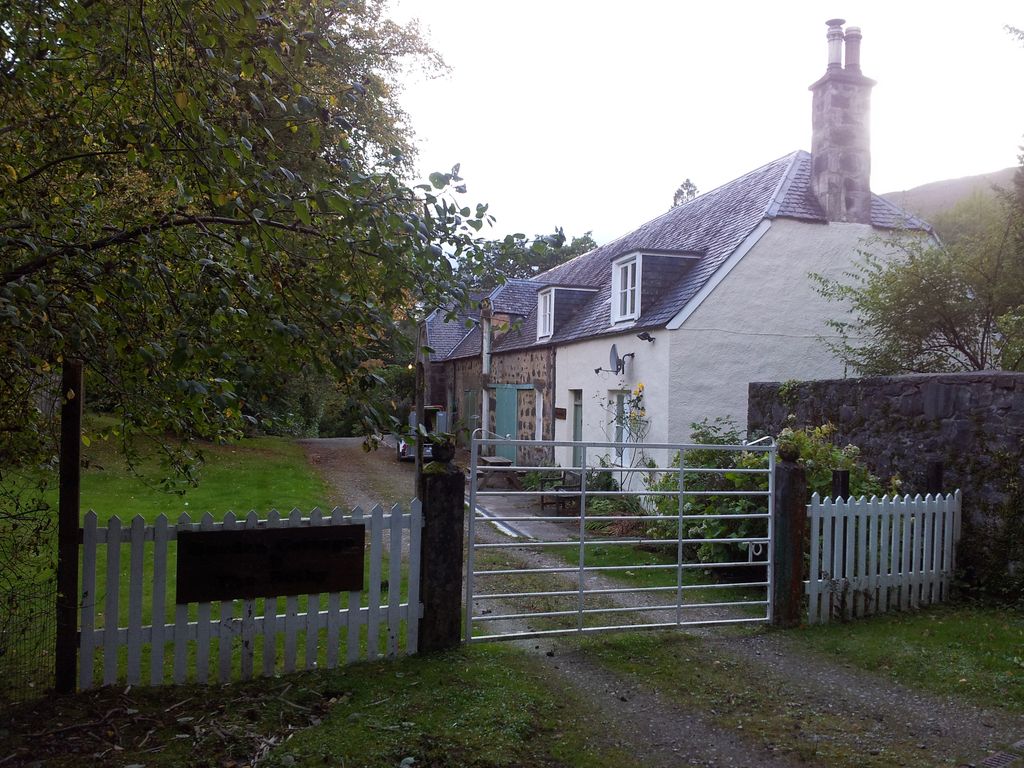
Garden Cottage by Achnashellach Station – 6.18pm
Back at the car 6.20pm with only a short drive back to Plockton for the night. Food including fav black pudding, apple & goats cheese starter at the Plockton Shores (recommended), pint of Plockton Brewery Hitched in the Plockton Inn. That’s four mentions of Plockton in one sentence.
Great start to the holiday, very happy with our mountain choice, views stunning and delighted to get out. Apart from one figure briefly spotted in the distance we saw no one all day, excellent. That night a lot of rain fell so the River Lair would be trickier. Walk Highlands mention trying the crossing to the island downstream from where the path intersects. Might be worth taking flip flops. Next day after a damp gusty start we ended up at the Quiraing.
- Walk Highlands Fuar Tholl
- Even more mentions of Plockton on last years trip, 6 Nights in Plockton with 60 Photos
- Day Two – the Quiraing & Sron Vourlinn


Pingback: The Quiraing and Sron Vourlinn, Isle of Skye (6.5 miles) | MART IN THE HILLS